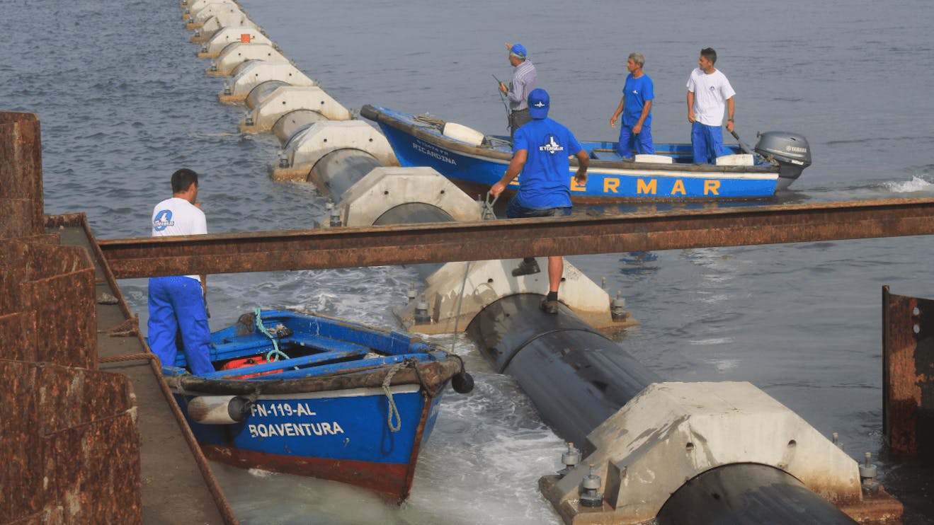
At Etermar, we have a multidisciplinary team, highly qualified in Topography and Hydrography.
Using state-of-the-art technology and software, we can meet the needs of our clients and support each project execution's team with greater precision and quality.
Proof of our commitment to being in the vanguard of technology is our latest acquisition of the SEABAT T20R high-resolution multibeam system, by TELEDYNE RESON. By integrating this system with the inertial navigation system, we obtain superior quality mapping and characterisation of soil, detection of piping and other submerged objects. Having an authentic perception of the bottom of the sea and its surroundings is a significant advantage in evaluating and monitoring our work.
With the support of terrestrial and marine high-precision planimetric and altimetric GPS positioning systems, we guarantee the exact placement of each project component.


